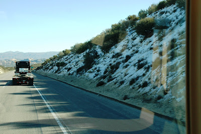
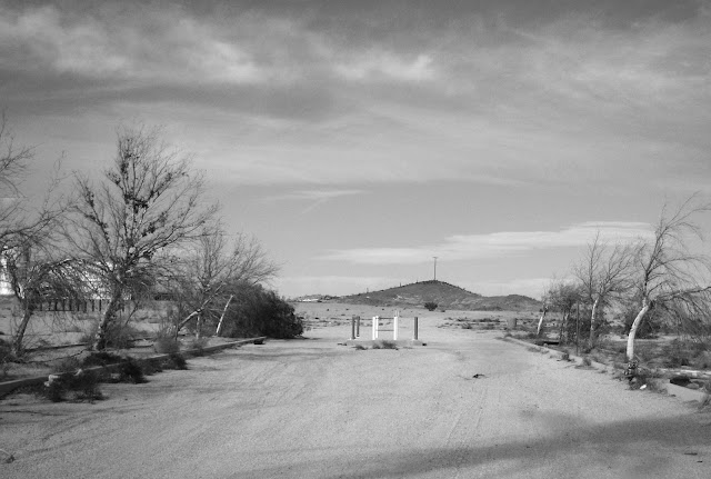
A few photos of our drive from Orange County to the Sonora desert in Southern Arizona. We went from the sunny ocean front by our home, snow in the mountains, a huge expanse of desert and sand dunes to get there. In Southern California, you really can surf at 9, snow ski before 11 and ride your dirt bike or dune buggy in the desert by noon. Not that I have that kind of energy, but you could do it, if you wanted to. These photos aren't intended to be artistic, but snapshots taken out the window of a moving RV.
I really don't like it when there isn't a cloud in the sky when I want to take a photo. They add so much and a shocking blue sky can be much too stark for me (and a photo).
The San Onofre Nuclear power plant. Because we live inside of the first evacuation zone (in case of trouble), I'm happy to report that it is currently shut down and I'm hoping it stays that way. Yes, everyone says they look like boobs. It opened in 1968 and despite friends and family laughing at me, I have held my breath when driving by it from that day forward. Even now that it's closed. Obsessive? Who me?
Snow! Not much left, but still...
Probably not the kind of mountain scene you are used to seeing. Even though the elevation at this spot is over 4000 feet, it's considered "high desert" and very arid. I love this scenery.
If you've been following my travels for a while, you know how much I love scenes like this one. In fact, I hunt for them.
Yet another example of inspiration and failure in the desert. If you are like me, sights like this fill me with questions. This is the southernmost highway in the western United States and very close to the U.S./Mexican border.
Are all freight cars covered with graffiti now? It sure seems like it. Actually, it's a nice break after seeing nothing but scattered scrub, dirt and sand for many, many miles.
And then sand, more sand and nothing but sand! Sand dunes for miles and miles. I think my wife might have made a wrong turn and we ended up in the Sahara. They are officially called the Algodones Dunes, but usually referred to as Glamis or the Imperial dunes. Either way, that's one big pile of kitty litter. Every person in the southwest with a dirt bike or dune buggy has either been to, or heard of Glamis.
More questions...
I think this used to be a bar/restaurant. I'd love to know the back story. I'm sure the cold beer they served here tasted pretty good when it was about 112 degrees outside.
This is what Cell phone towers look like in the desert.
From one minute to the next, the barren and arid desert is transformed into hundreds of square miles of incredibly productive farm land. It is truly one of the world's bread baskets. All of it made possible by...
Irrigation canals from the Colorado River. The hills to the right are in Mexico.
This is where we are camping (camping being a relative term of course). In about 10 seconds these geese will chase my wife away from their turf.
--------------------
We've been here for one week, with one week to go. "Here" is in the middle of nowhere south of Yuma, just above the U.S./Mexico border. We're very close to the Colorado River (what's left of it this far south, that is) and Gila River. There is so much history in this area. There is also some of my favorite desert craziness here as well. The kinds of things you know I'm always looking for. Desert folk art, relics, abandoned places and things that make you raise an eyebrow, if not both. We've seen some of these things already. I'll be posting them soon.
Today, old town Yuma... I have no idea what's there. Hopefully, no staged gun fights...
.

 WAIT! What is that in the background? It looks like the towers of a suspension bridge! What is a suspension bridge doing out here in the middle of nowhere? All I know is that that bridge is not on any of the maps I've been looking at. It's pretty obvious where our next stop is...


