Showing posts with label Pueblo. Show all posts

Tuesday, January 31, 2017

Keyhole Canyon Southern Nevada

Keyhole Canyon is located in Southwestern Nevada. Not only is it a fantastic rock art site, the geology there is also amazing.


We are going to those distant mountains.

 Getting closer

Keyhole Canyon is straight ahead. It should be described as a "box" canyon because that is what it is. One way in, and one way out.

PLEASE EMBIGGEN THIS PHOTO!
I'm starting from the far end of the canyon, because that is where this AMAZING dry waterfall was. I had my wife get into the photo for scale. From bottom to top (that disappears into the sunlight) it was easily 10 stories tall. The front of the canyon is 20-30 yards wide, but it narrows quickly, and we had to squeeze into the last part.  All of the white stone going up the falls, has been worn as smooth as glass. 

 In the center of the photo you can see my wife. She is very close to the VERY narrow opening leading to the main part of the canyon. Nobody knows why, but there are no petroglyphs at all in this area. Just past the narrow opening, there are many of them.

This is one of the first groupings of petroglyphs outside the Cathedral area. Most noteworthy of this group is the row of lateral grooves running up the middle of the rock. As you can clearly see, they look like they are eroding away. They are not! The creator of the petroglyph, did it on purpose. It is called "edge abrasion." Some archaeologists believe that this effect, is always near a location (usually a rock shelter) used for "puberty initiate" fasting. 

 Just inside the canyon mouth was a rock shelter that contained this awesome boulder.


In addition to this single mortero (mortar), there are at least a hundred cupules ground into the stone. Many archaeologists consider "cupules" to be the earliest form of "rock art."  Based on this boulder, I'm thinking this place was used more for ceremony, than for habitation. There has certainly been a lot of water here, but that was probably many thousands of years ago. 

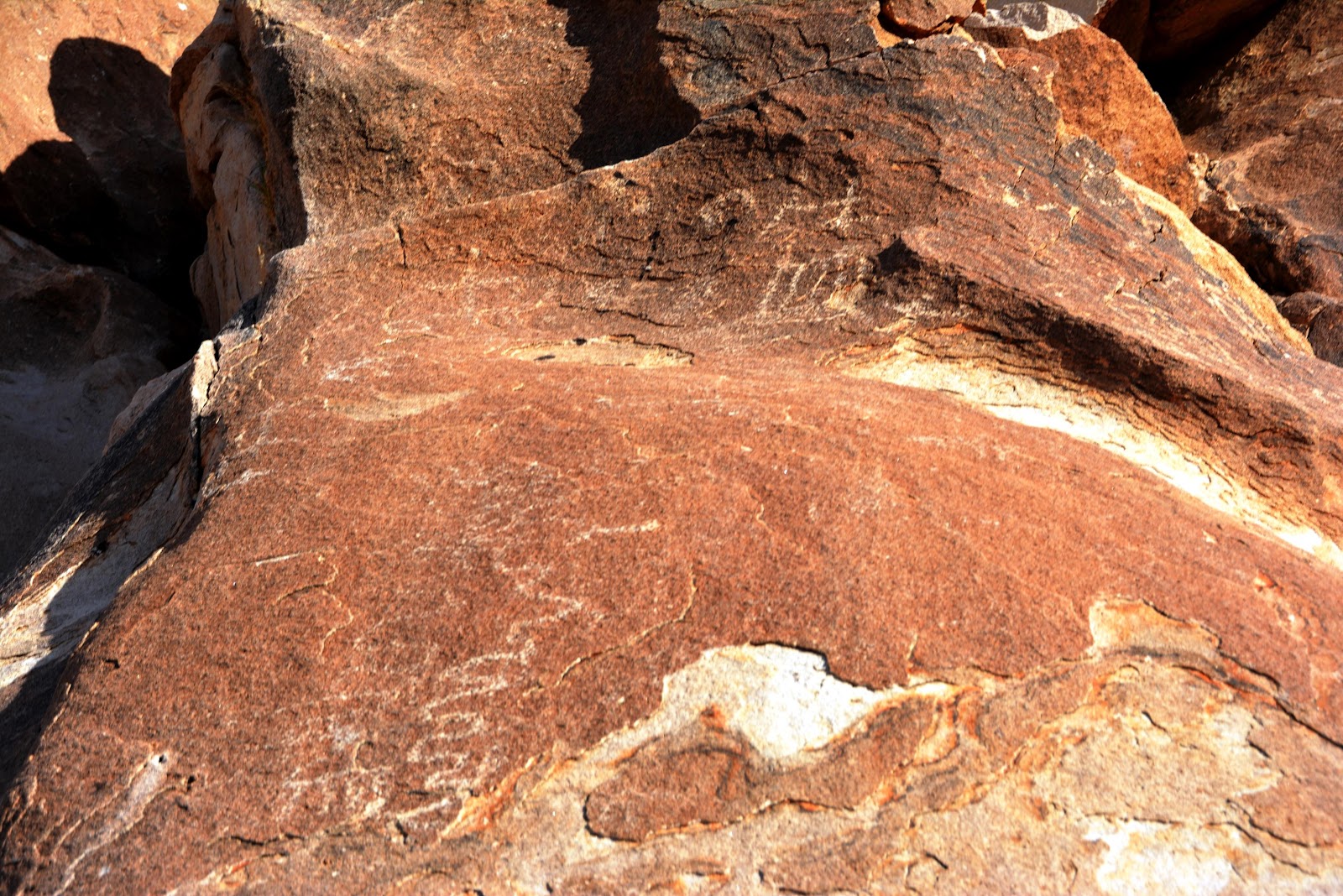
Many of the petroglyphs in this canyon are thousands of years old. There are several layers in some parts. This panel is one of them. What is cool about it (to me anyway) is the presence of big horn sheep and the symbol in the middle. See a close up in the next photo.


This "stylized" human figure is called an "anthropomorph." (ascribing human form or attributes to something that is not human). There are also a couple of big horn sheep in the panel. This symbol (a human with horns) most likely represents a Shaman and his "helper" animal. Or not...

 To me, this symbol looks like a some type of abstract big horn sheep (or two). 


These large geometric symbols have been associated (by archaeologists) with the "creation mythology" associated with the Pueblo/Anasazi, Paiute, and Mojave tribes, that have all been associated with this area.


 Big horn sheep

 A variety


 Is it just me, or is that a clown face in the upper middle? Clowns are scary and I hate them...


Many big horn sheep


.


Monday, November 28, 2016

Montezuma Well - Verde Valley AZ

Approximately 1600 years ago, the "Sinagua" people settled into the Verde Valley and Sedona areas. They eventually built and occupied cliff dwellings, pit houses, pueblos, and other masonry structures. For reasons known only to them, the Sinagua eventually abandoned the structures about 700 years ago.  The word "Sinagua" is Spanish for "without water." What they called themselves is unknown, but we do know that they are linked with the Hopi and Hohokam tribes. Today, members of the Apache and Yavapai tribes live in the area. Some say that the vanished "Sinagua" people are part of one or more of these other four groups today.
------------------------------------------
Montezuma Well (unrelated to Montezuma and not really a well) is a large limestone sinkhole with a seemingly endless supply of water.

Even during periods of drought, over 1.5 million gallons of water flows into, and out of this sinkhole everyday. Water leaves the "well" after passing through limestone, and into an irrigation ditch. The ditch has been dated at over 1,000 years old, and is still used today.


Some of the Sinagua cliff houses are visible just under the rim (in the upper middle of the pic)

A better view. These ruins have not been "re-built."


The following several photos are ruins that are lower and closer to the water exit.


Historical graffiti
Graffiti this old is actually protected


Pueblo ruins very close to the edge of the sinkhole.

The remains of the foundation of a "pit-house." This is also close to the sinkhole. Poles were placed in the holes to help support and shape the roof and walls. The entrance was on the left. The only restoration work is a "mud" based paint that is used to coat and protected what is left.

This structure protects the pit-house from the weather.

Not related, but just because I like the way it looks.

See previous post on Montezuma's Castle HERE.